Remote Sensing Services
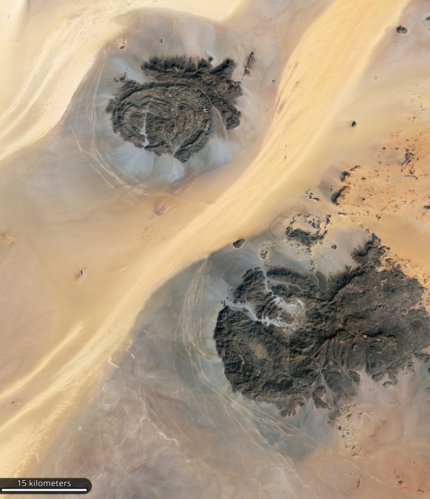
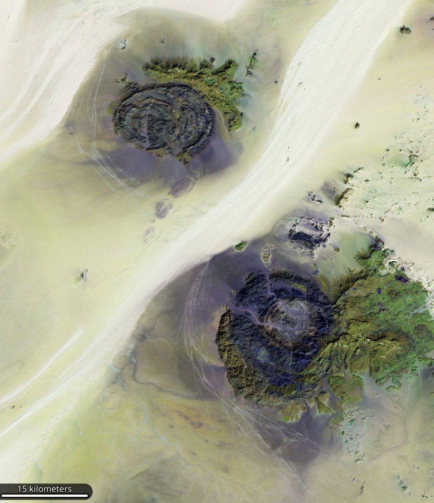
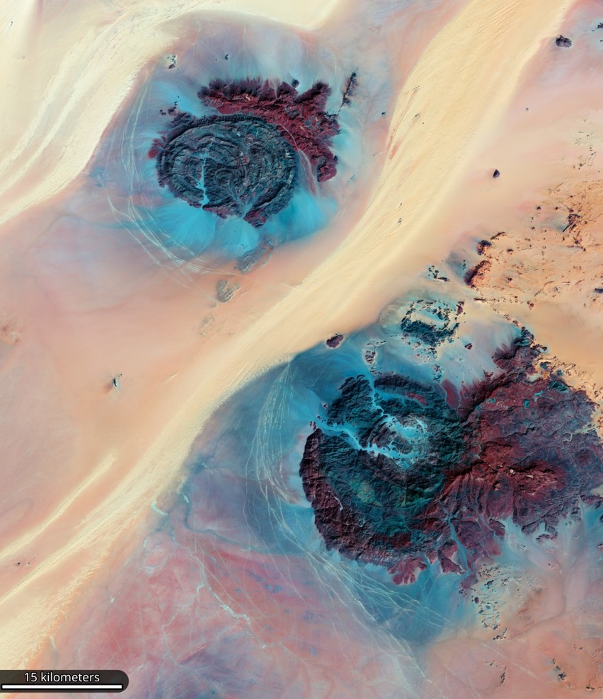
Experts at El-Obour Company analyze multispectral and hyperspectral satellite images, to determine the spectral signatures of minerals and create accurate maps of their distribution. This analysis also contributes to identifying mineral deposits associated with oil and gas exploration.
Mineral ore deposits and their constituent minerals possess unique spectral characteristics that can be detected using various wavelengths of light beyond the visible spectrum.
Analyzing these spectral characteristics allows for a precise assessment that enables the creation of specialized maps illustrating mineral distribution.
Specialists at El-Obour Company utilize a variety of advanced image processing methodologies and algorithms, including artificial intelligence tools and pattern recognition techniques, to accurately identify potential mineral types.
Satellite imagery significantly reduces land surveying costs, as it eliminates the need for geological teams or field equipment at exploration sites.
Instead, prospectors can rely on multiple sources of geospatial and spectral data to gain valuable insights that support the evaluation of potential projects, accelerate exploration phases, and improve decision-making efficiency.