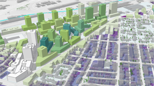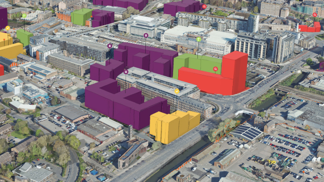
Geospatial Digital Twins
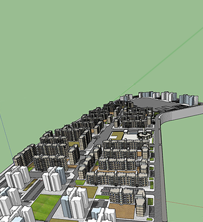
Digital Twin models are created using a combination of remote sensing data, high-quality aerial photography, and advanced machine learning algorithms that can detect and model everything from buildings and streets to vegetation and topography. Our approach is scalable to facilities, campuses, cities or regional modeling.
Using GIS in the creation of digital twins enhances decision-making opportunities by placing objects, events, and their relationships in spatial context, highlighting trends and patterns as they exist in the real world. Spatial intelligence provided by GIS allows for building digital twins that almost perfectly reflect the real world, enabling accurate predictive analytics and data-driven decision-making.
Digital twins are mostly used as an environment for simulating various events and conditions and understanding exactly how such scenarios will affect the entire ecosystem. For example, urban planning is a prime use case for geospatial digital twins. With whole cities or areas recreated in the virtual space, developers can evaluate multiple design and planning options before starting work in the real world.
Urban digital twins typically replicate traffic and infrastructure, utilities, and energy networks, allowing city planners to monitor the status of the urban environment and run various change scenarios to observe possible effects.