Mobile Mapping
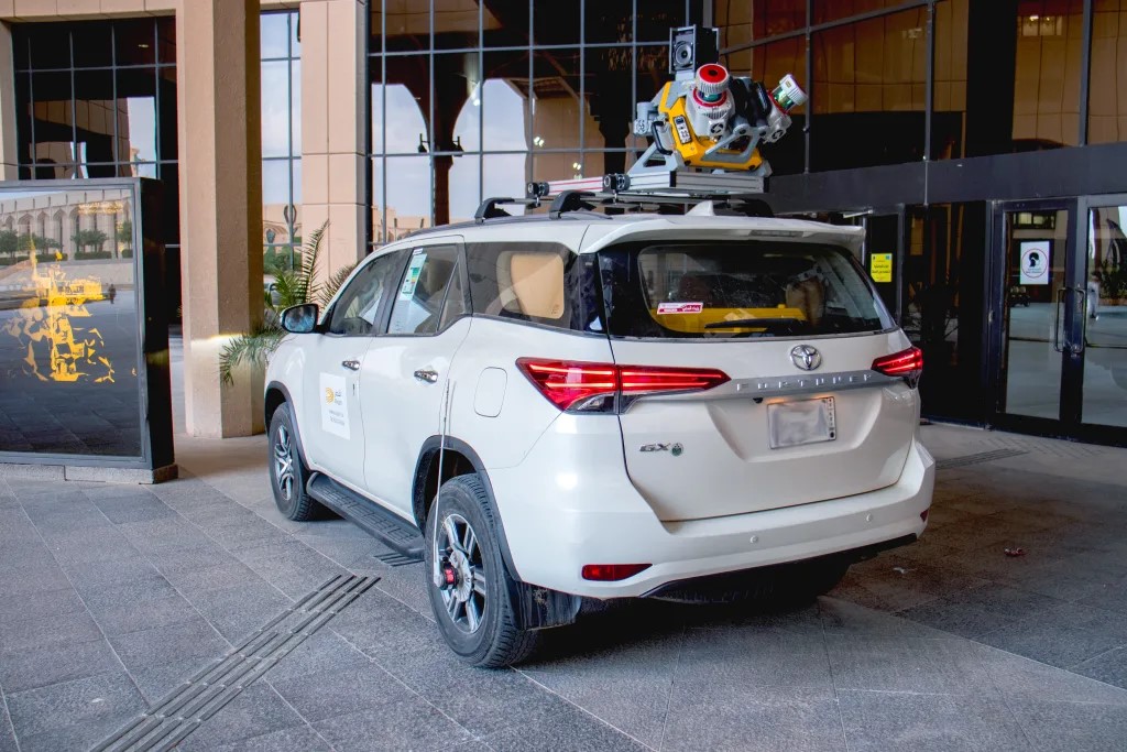
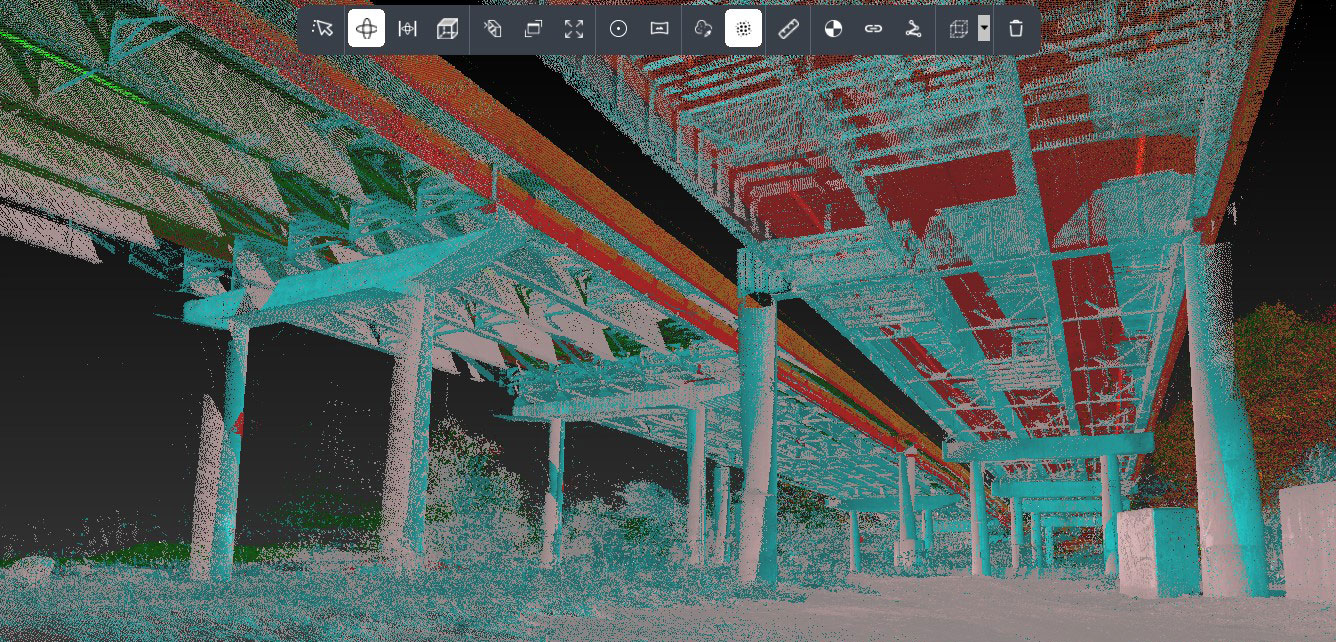
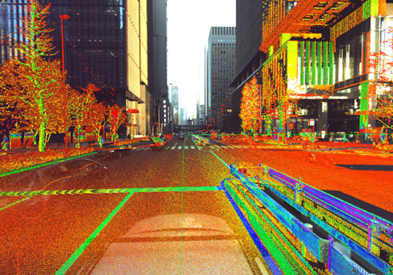
Mobile Mapping is the process of collecting geospatial data using a range of equipment including: GPS/GNSS )Global Navigation Satellite System(, high-resolution photography, laser and radar scanning, LiDAR systems, or any number of remote sensing systems. This equipment is either portable or mounted on a moving vehicle, as shown in the pictures.
These systems consist of an integrated array of navigation, tracking, and synchronous imaging sensors mounted on a mobile platform. A laser scanner continuously and with very high density measures distances to all objects as the device moves. Each point has its coordinates recorded by GPS/GNSS. Simultaneously, a camera array captures 360-degree images from the device's position, allowing for the mapping of the images and measured points. Non-spatial data is then compiled using desktop processing software. All objects visible in the images (trees, roads, traffic signs, buildings, etc.) are classified, allowing each type to be stored on a separate layer with its own three-dimensional coordinates. This also enables the creation of three-dimensional models of the entire scanned area. The main outputs of these systems include GIS data, digital maps, and georeferenced images and videos.
Our company puts its technical expertise at the service of developing geospatial data solutions in Libya, by providing integrated and advanced solutions using the latest digital surveying, aerial photogrammetry, remote sensing and GIS technologies, to support urban planning and reconstruction projects, and to create smart planning systems based on accurate and reliable data.