
Hydrographic Survey Services
Hydrography, is a vital discipline in the planning and management of coastal and marine resources. It focuses on measuring and representing the physical characteristics of water bodies, including depths, tidal movements, seabed composition, and the precise determination of topographic and hydrographic features.
Its importance extends to establishing baselines and points, contributing to the delimitation of maritime boundaries between coastal states, supporting safe navigation, port management, and marine environmental protection.
Our company is committed to employing the latest hydrographic technologies and establishing partnerships with specialized international institutions to implement precise and comprehensive projects in this field.
Our services include integrating hydrographic data with the company's digital geospatial solutions, including – but not limited to – the following :
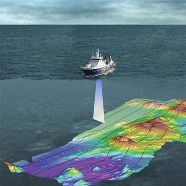
- Collection and analysis of bathymetric data using multi-beam echo sounder systems to produce high-resolution 3D models of the seabed.
- Creation of side-scan sonar images to detect submerged features such as wrecks, sunken vessels, artificial structures, and navigational hazards.
- Monitoring and recording tidal data and linking it to a standardized vertical reference to ensure the accuracy of subsea elevation measurements.
- Analysis of seabed composition and identification of sediment types (such as sand, mud, and rock) to support environmental studies and port engineering.
- Documentation and location of navigational aids, marine markers, and coastal and port features within a standardized coordinate system.
- Establishing marine and terrestrial geodetic control networks, including horizontal and vertical control points, to link marine data to the national coordinate system.
Our company complements its integrated approach by combining hydrographic data with digital geospatial solutions developed for land-based applications, such as:
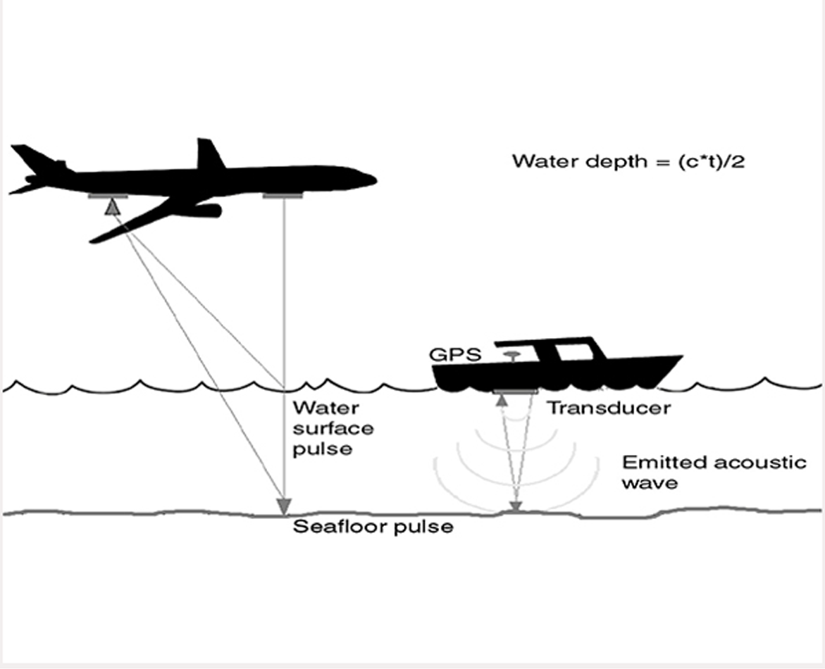
- Producing standardized marine-coastal base maps compatible with GIS systems, used for spatial analysis, coastal planning, and disaster management.
- Employing multiple remote sensing techniques (multispectral imagery) to monitor dynamic changes in the coastline and patterns of environmental exposure.