
GeoSpatial Services
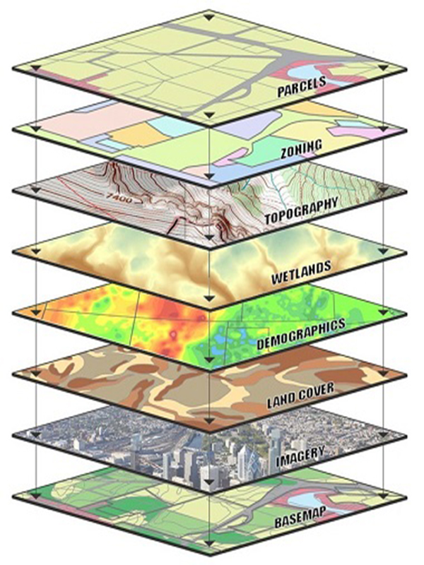
Our company offers Geo-database design services, ensuring data integrity and regular updates to guarantee accuracy and effectiveness in supporting and enhancing Geographic Information Systems (GIS).
We also provide geospatial data application development services, designing intelligent solutions that enable highly efficient geospatial data analysis and management according to client requirements.
Our company specializes in producing high-resolution digital maps that meet diverse needs, including detailed, topographic, geological, and .. etc.
Our geospatial analysis services utilize advanced tools that contribute to sustainable resource planning and enhance decision-making based on accurate spatial data.
Advanced GIS technologies are used to convert aerial and satellite imagery into high-resolution digital maps, along with the development of 3D models (DTM/DSM/DEM) that provide comprehensive data supporting spatial analysis and planning.
We enhance satellite imagery to deliver more accurate and clear data, enabling the extraction of precise spatial information that supports analysis and planning.
We modify and enhance images to achieve the best possible results, accurately and professionally meeting client requirements.
Among the most prominent services offered by El-Obour company are:
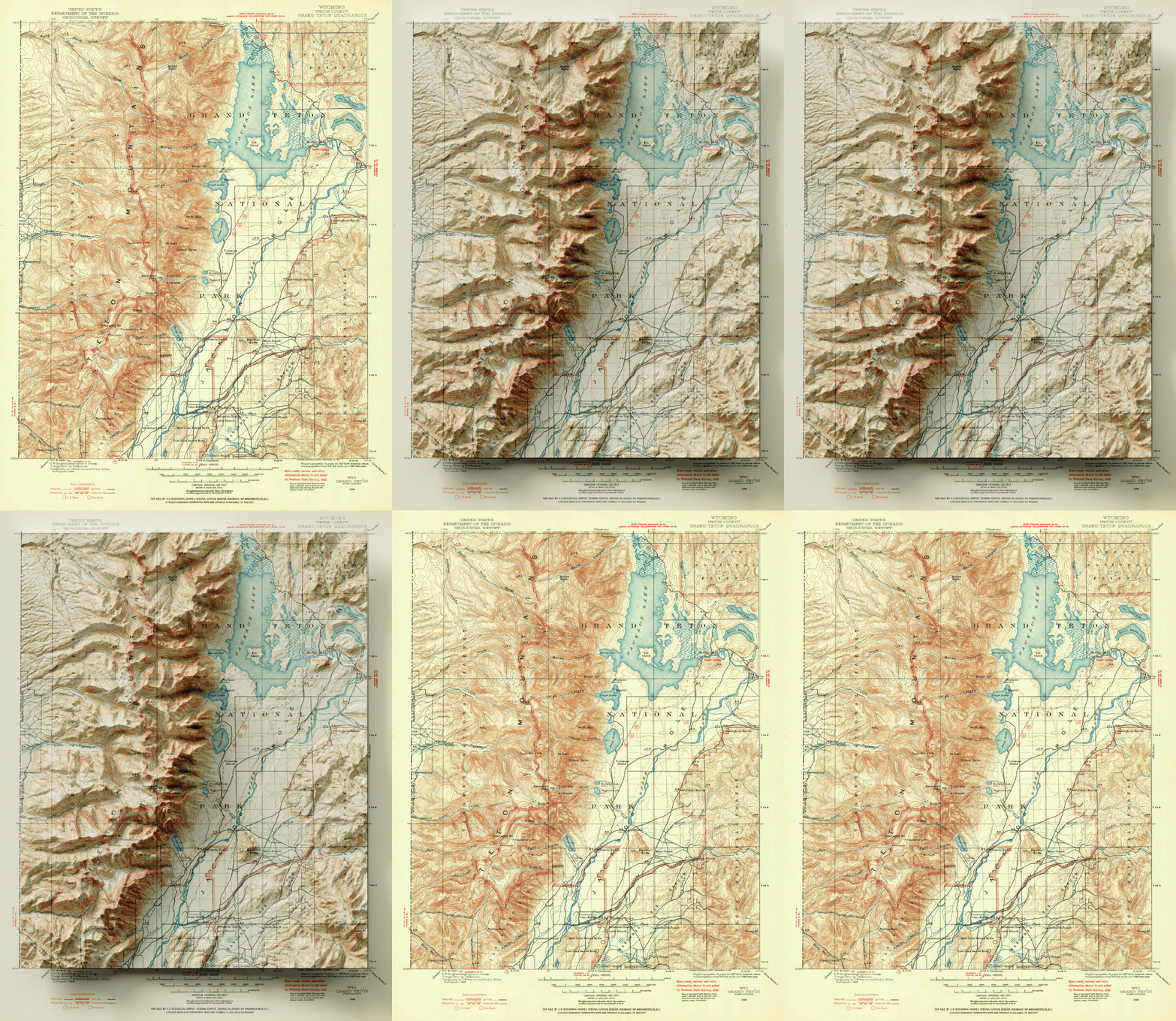
- Producing maps that meet clients' needs in various fields, such as topographic maps, detailed maps, urban planning, and more, with a focus on accuracy and high quality.
- Providing specialized expertise to support the planning and implementation of Geographic Information Systems (GIS) projects and enhance decision-making effectiveness.
- Providing integrated GIS solutions that meet the needs of all sectors within the country.
- Ensuring the reliability and accuracy of geospatial data through the application of best quality management practices.
- Processing and transforming geospatial data and verifying its accuracy to ensure its conformity with analytical and application requirements.
- Creating 3D models of plans and areas of interest to support spatial analysis and strategic planning more clearly and effectively.