Aerial Survey, Photogrammetry and LiDAR
Our company offers integrated solutions in the field of Aerial Survey and Digital Photogrammetry, supported by the latest technologies and specialized software, to meet the needs of public and private entities in Libya for accurate and reliable spatial data.
Our services also focus on collecting, analyzing, and processing aerial data and transforming it into smart, high-resolution geospatial products that contribute to supporting urban planning, land management, infrastructure projects, and environmental studies.
To achieve maximum efficiency and accuracy, we adopt a flexible methodology that combines both:
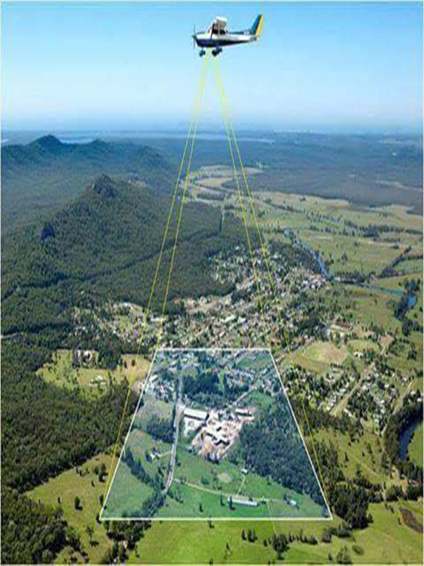
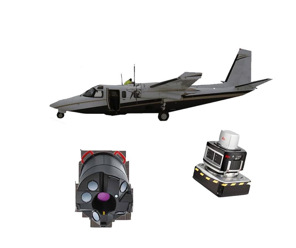
- High-resolution aerial images using unmanned aerial vehicles (UAVs) for areas less than 1,000 square kilometers, and fixed-wing or jet aircraft for major projects exceeding this area, while ensuring comprehensive coverage even in rugged terrain such as mountains, valleys, and areas with steep slopes.
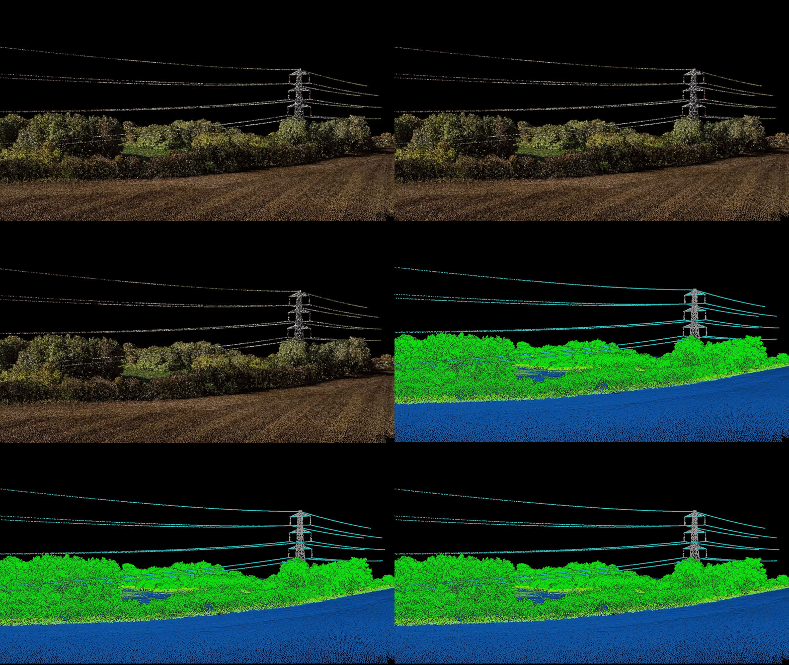
- Capturing high-resolution surveying LiDAR data of the earth's surface, including buildings, vegetation, and natural formations, enabling the production of high-quality digital elevation models, even in limited lighting conditions or in areas with dense vegetation.
The outputs of our digital services include:
- True ortho-rectified aerial photos (True-Orthophoto) free from distortions and perspective aberrations, ready for direct use in map production and accurate measurements.
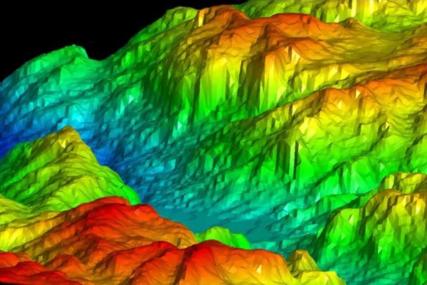
- Digital elevation and surface models (DEM & DSM), that represent the earth's surface and its features (such as buildings and trees) and are used in surface runoff analysis, engineering design, and urban planning.
- High-quality geospatial databases that comply with established standards.
- 3D models & visualization used in simulation, urban design, and various application scenarios.